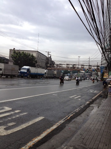
This is the beginning of a series of notes on how to get from one place to another purely by commuting, not including commuting by taxi. Here I begin to outline my usual commute from Masinag junction, going to Eastwood.
There are many ways to get to Eastwood from Masinag. I'm going to show you one way, my preferred way.
First, take a jeep at Masinag junction. The jeep's signage should read Marikina Sumulong or Marikina Palengke.
Take this jeep all the way to its terminal at Marikina sports center. Walk along the sidewalk of the entrance to the sports center until you reach the corner where 7-11 is. You will see jeeps and a line of commuters (especially in the morning from 6am-8am), waiting for the jeep to take them to Pasig. Ride the jeep to Pasig palengke, or San Joaquin, or Rosario tulay.
Map: Marikina Sports Center
Corner of Shoe avenue, 7-11
People lining up at jeep terminal
Jeep signages: Pasig palenke, San Joaquin
Tell the driver to drop you off at C-5. On weekday mornings, this intersection gets congested a lot.
Map: Intersection, A. Rodriguez Ave. and Caruncho Rd--to C-5
From the intersection, find your way to Caruncho road. Keep walking until you see a line of red tricycles. They will take you to Eastwood or at the end of Industria street, where you will find yourself on C-5.
Tricycle terminal along Caruncho Rd.
To go directly to Eastwood, it's best to get off at Economia street. You can either walk or if all passengers on the trike are going to Eastwood, then you'd be taken all the way to Economia Street.
Map: Economia Steet
Where the trikes drop you off, Economia Street
Another alternative is to get off near the corner of Industria and C-5. Walk along C-5 until you get to the C-5 entrance to Eastwood.
Map: Corner of Industria and C-5
Intersection opened, C-5, Industria street
Walking along C-5 to Eastwood city
Entrance to Eastwood from C-5
So this is the usual route I take. The advantages are:
1. All transport points are terminals, such as the Marikina drop and Caruncho drop.
2. Transport fare is affordable. You only need Php30 to complete te entire route.
The disadvantages are:
1. Rush hour is really bad (I'd say in any route). But the route presented is the best way to avoid the congestion and riding problems along Marcos Highway.
2. It does involve a lot of rides but 3 rides will guarantee that you could get there on time.
And there are many other ways to get where you wish to go. I'll share some of these notes too and hopefully you'd find them useful. Until next time.


